property
Rocklea's Rezoning Moment: The Overlooked Suburb Where Brisbane Buyers Are Starting to Pay Attention
A proposed rezoning of light industrial land in Rocklea could unlock a wave of residential development just seven kilometres from the CBD, and early movers are already circling.
How we reported this
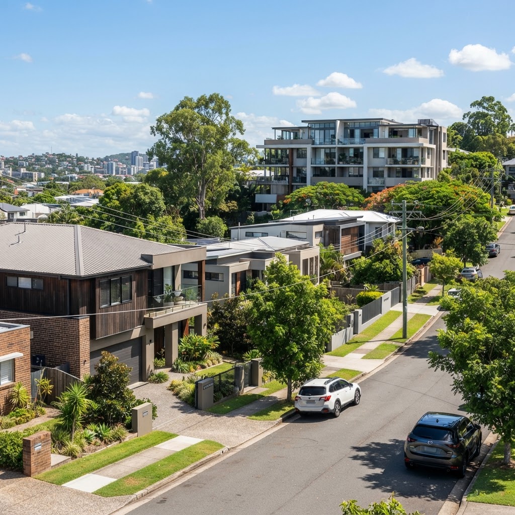
Rocklea has spent decades defined by its industrial estates, its Saturday morning market crowds on Sherwood Road, and its reputation as a place you drive through on the way somewhere else. That may be about to change. Brisbane City Council's draft amendments to the City Plan 2014, currently open for community consultation, flag sections of Rocklea's light industrial corridor, particularly land flanking Ipswich Road and portions near the Rocklea Markets precinct, for potential rezoning to mixed-use and medium-density residential. For buyers watching the Brisbane property cycle, the timing is hard to ignore.
The broader backdrop matters here. Queensland's median house price is sitting around $780,000, according to the Real Estate Institute of Queensland's most recent data, and the state's southeast corner continues to absorb record levels of interstate migration from New South Wales and Victoria. Infrastructure spending tied to the 2032 Brisbane Olympics is reshaping connective tissue across the metropolitan area, with upgraded bus and active transport links proposed for the inner-south corridor through projects listed under the Cross River Rail delivery authority's legacy planning program. Rocklea sits directly inside that corridor, pressed between Salisbury to the south and Moorooka to the north, yet its median house price remains well below its neighbours, a gap that rezoning proposals tend to close quickly.
What the Zoning Maps Actually Show
The relevant Council zone change discussions centre on land currently coded Low Impact Industry under the City Plan. Rezoning these parcels to Mixed Use or Low-Medium Residential Density would allow townhouse and apartment development at scale, something currently prohibited on large portions of the suburb. The Rocklea Markets site on Sherwood Road, a Brisbane institution operating on weekends since the 1960s, occupies a significant parcel of this land, and its future tenure is an open question in the planning conversation. Nearby, the Canale Estate residential pocket along Fairfield Road gives a rough preview of what infill development here could look like: a tight grid of 1950s and 1960s homes on 400-to-600-square-metre blocks, many of them now the subject of owner-occupier renovation rather than developer acquisition. That ratio is shifting.
CoreLogic data places Rocklea's current median house price at approximately $740,000 as of the June 2026 quarter, roughly $40,000 below the state median and a notable discount relative to adjoining Moorooka, where medians have cleared $820,000. Rental vacancy across the inner-south precinct, according to the Real Estate Institute of Queensland's April 2026 residential vacancy report, sat at 0.9 per cent, effectively zero functional vacancy for landlords. An investor purchasing a three-bedroom house on a 600-square-metre block in Rocklea today is buying both a current yield story and an optionality story: hold for income, or land-bank for a development approval once zoning is confirmed.
What Happens When the Maps Change
History across Brisbane's inner ring offers a reliable template. When Woolloongabba's industrial edge along Ipswich Road was progressively rezoned ahead of the 2032 precinct planning work, buyer inquiry in surrounding streets spiked before development applications were even lodged. The same dynamic played out in Albion and Newstead in the years following the Gasworks precinct rezoning earlier this decade. Buyers who waited for the formal rezoning confirmation paid a premium that early movers avoided entirely.
For buyers considering Rocklea now, three practical steps are worth the time before committing. First, pull the Brisbane City Council interactive mapping tool and check the specific lot against draft amendment documents, zoning proposals are site-specific and not every parcel in the suburb is affected. Second, examine flood overlay maps closely: parts of Rocklea along the Oxley Creek corridor sit inside defined flood areas, which affects both insurability and future development potential. Third, note that council consultation periods typically run for a minimum of 20 business days from the draft amendment publication date, any submission lodged before that window closes can formally influence the final outcome. That window, for the current draft cycle, is expected to close in late August 2026. The maps are still being drawn. That is exactly the point.
This article is general information only and is not personal financial or investment advice. Consider your own circumstances and seek licensed professional advice before making financial decisions.