wellness
Brisbane's Best Walking Trails Rated by Distance and Difficulty
From flat riverside strolls to lung-busting ridge climbs, here's where to find your next outdoor workout across Greater Brisbane.
How we reported this
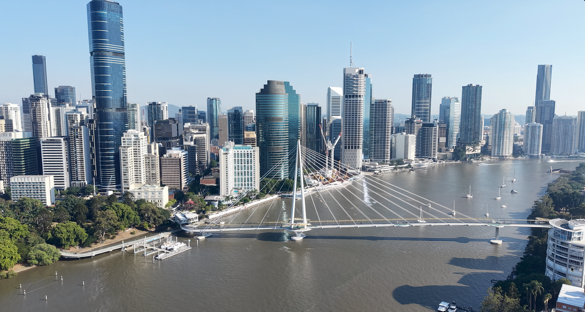
Brisbane's outdoor fitness culture is hitting a mid-winter peak. With July temperatures sitting comfortably in the low-to-mid 20s and morning frosts essentially non-existent south-east of the Dividing Range, the city's parks and river corridors are drawing walkers, joggers and trail runners in numbers that would puzzle most southern capitals. If you've been meaning to expand beyond your usual suburb loop, now is the time.
The timing matters beyond just the weather. Lifestyle health research consistently links regular moderate-intensity walking to reduced risks of cardiovascular disease, type 2 diabetes and anxiety, and Brisbane's geography hands residents a rare advantage: a dense network of free, well-maintained trails within 20 kilometres of the CBD. Brisbane City Council's Parks and Recreation division manages more than 2,100 parks across the local government area, and a growing number of them have been upgraded with sealed paths, water stations and wayfinding signage in the past three years.
Easy to Moderate: The Flat Starters
New Farm Park on Bowen Terrace remains the entry point for anyone returning to regular exercise. The perimeter loop around the park's main rose garden and river frontage covers roughly 2.5 kilometres on sealed path, with almost no elevation change. Pair it with the adjacent New Farm Riverwalk, a 5.6-kilometre sealed boardwalk stretching from Merthyr Road across to Howard Smith Wharves, and you have a legitimate 8-kilometre return route that rarely feels crowded before 7 a.m. on weekdays. Difficulty: easy. Surface: sealed throughout.
South Bank Parklands offers a similar profile. The 17-hectare precinct runs along Grey Street and the Stanley Street Plaza edge, and the full perimeter walk, including the riverfront promenade past Streets Beach and the Goodwill Bridge crossing to Gardens Point, clocks in at approximately 4 kilometres. The flat grade makes it suitable for most fitness levels. Brisbane City Council lists this route through its free Active Parks program, which also maps access points and toilet facilities online at brisbane.qld.gov.au.
For those ready to add modest elevation, the Brisbane Botanic Gardens at Mt Coot-tha offers a 3-kilometre internal network of gravel and bitumen paths through themed gardens off Mt Coot-tha Road in Toowong. Difficulty: easy to moderate, with one short pinch climb near the Japanese Garden. Entry is free and the gardens open at 8 a.m. daily.
Moderate to Hard: Trails With Serious Elevation
Mt Coot-tha itself is where Brisbane's walking scene shifts into a different gear. The Kokoda Track Memorial Walk, a 6-kilometre return trail beginning from the Walkabout Creek carpark off Fig Tree Pocket Road, climbs approximately 130 metres through eucalypt forest to a commemorative monument. Difficulty: moderate. The trail is unsealed, rocky in sections after rain, and demands appropriate footwear. Allow 90 minutes return at a comfortable pace.
The D'Aguilar National Park trail network, accessible from the Mt Coot-tha Summit carpark via Sir Samuel Griffith Drive, extends this further. The Mt Nebo trail section, a 10-kilometre one-way route that forms part of the longer Moreton Bay Coastal Walk, is rated hard by Queensland Parks and Wildlife Service due to sustained elevation gain above 300 metres and remote sections with limited phone signal. Carry at least 1.5 litres of water. Trailhead parking off Sir Samuel Griffith Drive is free.
Runners and serious walkers chasing a weekend challenge should look at the Walkabout Creek Discovery Centre loop in The Gap, where a 7-kilometre circuit through creek flats and scribbly gum ridgelines costs nothing to access and connects directly to the broader D'Aguilar trail system. The Discovery Centre itself, located at 60 Mt Nebo Road, charges an adult entry fee of $7.45 as of July 2026.
Regardless of which trail you choose, Queensland Health recommends carrying sufficient water, notifying someone of your intended route on longer walks, and downloading an offline map for any trail that enters national park boundaries. If you have existing cardiovascular or joint conditions, consult your GP or a Brisbane-based physiotherapist before tackling moderate or hard-rated routes. Brisbane's trail network is genuinely world-class, the entry cost is just showing up.