Brisbane City Council's property information portal is carrying duplicate and mismatched aerial images for an estimated several thousand parcels across the city — a legacy of overlapping mapping updates, contested boundary surveys, and the sheer speed at which South East Queensland has grown. The problem is not new, but it has become acute in 2026 as Olympic infrastructure timelines compress and property transactions in corridors like Logan and Ipswich accelerate.
The issue matters now because the state government's cross-agency land data platform, Spatial Information Queensland, feeds directly into development applications assessed under the Planning Act 2016. When a parcel carries two images — typically an older orthophoto layered beneath a newer capture — automated systems can flag contradictory site data, slowing approvals at precisely the moment Brisbane needs them moving fast.
How the Duplication Problem Built Up Over Years
The roots go back to at least 2015, when QLD's Department of Resources began rolling out high-resolution aerial captures on a rolling three-year cycle. Councils, utilities, and private certifiers were each pulling data at different points in that cycle and storing local copies. By the time the 2022 South East Queensland flood recovery mapping was commissioned — covering more than 23,000 properties across Brisbane, Ipswich, and the Lockyer Valley — there were already mismatches sitting inside the system. The flood-mapping exercise added a new image layer without retiring the old ones in every case.
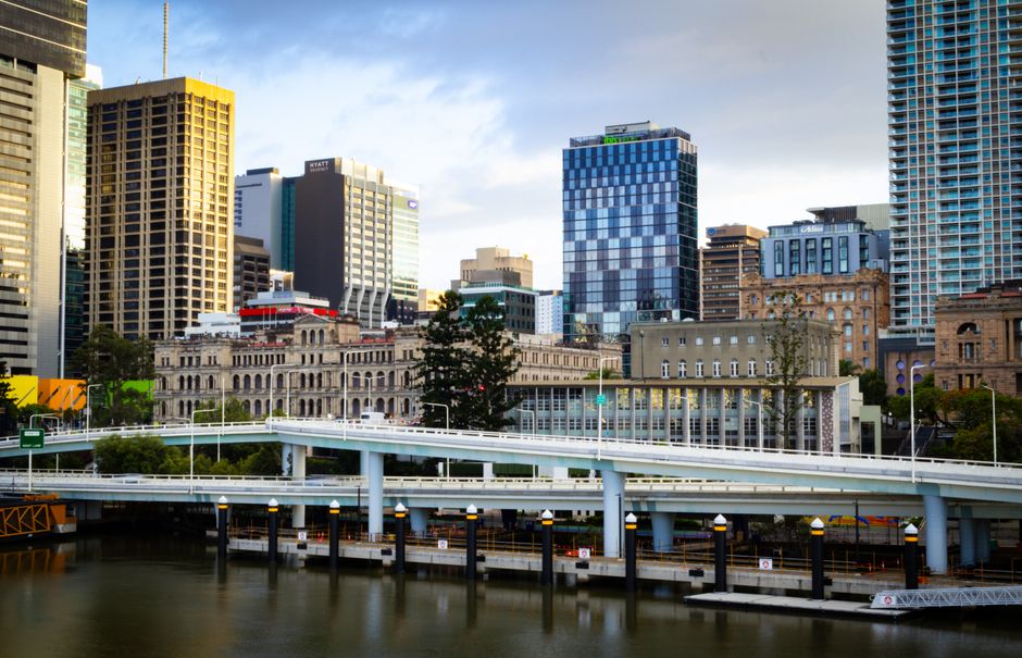
The Gabba precinct redevelopment, centred on the Vulture Street and Stanley Street intersection in Woolloongabba, exposed the problem in a practical way. Infrastructure planners working on the 2032 Olympic Athletes Village and stadium precinct have had to commission fresh ground-truth surveys because the base imagery in the planning portal showed pre-demolition structures on parcels that had already been cleared. That duplication added cost and time to an already politically sensitive project.
The Inner City Bypass corridor and the Kelvin Grove Urban Village — where QUT and Brisbane City Council share planning responsibilities — have also been flagged by surveyors as areas where imagery conflicts have required manual resolution before development applications could proceed.
The Migration Surge Is Making Things Worse
South East Queensland recorded net interstate migration of roughly 30,000 people annually in recent years, with a significant share settling in the Logan and Ipswich local government areas. That growth has driven subdivision activity at a pace the existing cadastral update cycle was not designed to handle. New lots are being created, consolidated, and reconfigured faster than imagery is being refreshed, creating a persistent lag.
The Queensland government's ShapingSEQ regional plan, which designates growth corridors through Springfield, Ripley, and Flagstone, relies on current spatial data for infrastructure sequencing decisions. Where parcel imagery is duplicated or contradictory, the downstream effect on stormwater planning, road reservation calculations, and utility easements compounds quickly.
From a practical standpoint, duplicate images in the property portal are not merely a bureaucratic inconvenience. Buyers using the Brisbane City Council PD Online system — the public-facing planning and development portal — can encounter site photos that do not reflect current conditions, which can affect due diligence and, in some cases, valuation disputes with the Queensland Valuation Services branch of the Department of Resources.
The Department of Resources confirmed in its 2025-26 annual business plan that a statewide imagery rationalisation program was underway, with priority given to Olympic venue precincts and declared flood-affected areas. The target completion date for the highest-priority parcels was listed as June 2027 — which means the problem will still be live during what is expected to be the most intensive phase of Olympic construction approvals. Property owners or developers who suspect their parcel is affected can lodge a data correction request through the Queensland Globe platform. Surveyors working in growth corridors say the correction turnaround is currently running at six to eight weeks for standard residential parcels.