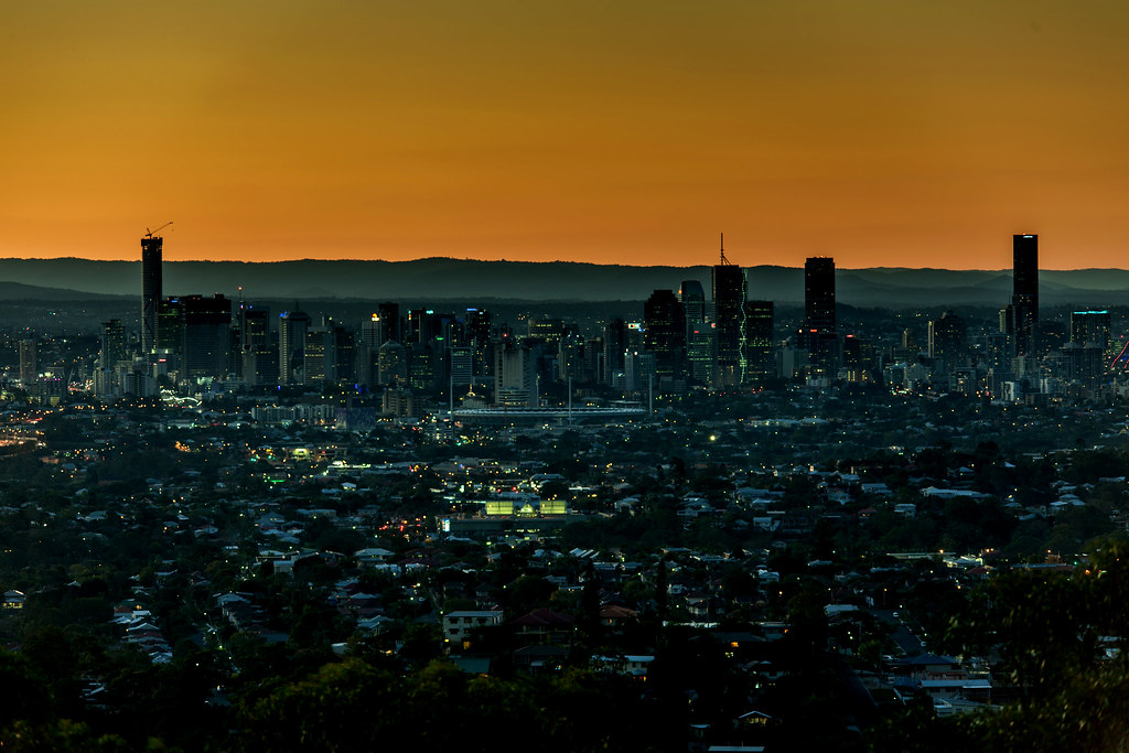
Brisbane River Cycling Paths: 4.2km New Routes Open
Brisbane's new riverside cycling and walking paths connect inner suburbs. 4.2km of routes from Story Bridge to Teneriffe remove traffic gaps for daily commuters.
Brisbane's new riverside cycling and walking paths connect inner suburbs. 4.2km of routes from Story Bridge to Teneriffe remove traffic gaps for daily commuters.
Brisbane City Council opened 4.2 kilometres of new shared paths along the Brisbane River on 15 June 2026.
The additions link existing sections and remove several gaps that forced cyclists and walkers onto busy roads. Locals now move between inner suburbs without crossing traffic at multiple points. The timing aligns with cooler winter temperatures that make outdoor time more appealing after months of planning delays.
The paths run from the base of the Story Bridge through Kangaroo Point Cliffs to the wharves at Teneriffe. A second stretch joins the West End promenade directly to Davies Park markets. Brisbane City Council worked with the Active Brisbane program to install new lighting and seating at five rest points along both sections.
Council sensors recorded an average 2,500 users each weekday on the new segments in the first three weeks. Weekend counts reached 4,100 on the Kangaroo Point to Teneriffe route. The figures represent a 35 percent rise compared with the same period last year on the older sections. Many riders now complete a continuous 12 kilometre loop from Newstead to West End without leaving the river corridor.
Local cafes near the entry points report steadier morning trade. The Greek Orthodox Church hall in West End added a pop-up coffee cart on Saturdays to serve the increased foot traffic passing Davies Park. Residents in nearby apartment blocks say the direct connections cut their commute times to the CBD by up to 15 minutes on foot or bike.
The council plans to add another 1.8 kilometres of path near the University of Queensland by November. In the meantime, maps of the completed routes are available at the Brisbane Square library and on the Active Brisbane website. Locals can start at the Kangaroo Point lookout car park and follow the new surface south for a flat 8 kilometre return ride that stays off main roads the entire way.
Advertise
Reach thousands of Brisbane readers daily. Contact us at hello@dailybrisbane.com.au to advertise.
Get in touch →Daily Network
About this article
Published by The Daily Brisbane
Daily brief
Free, in your inbox before 7am. Weekdays.
More from The Daily Brisbane