wellness
Brisbane Locals Discover 5 Hidden Riverbank Trails Tourists Miss
Brisbane residents continue to favour lesser-known riverbank trails over crowded tourist routes for daily exercise.
How we reported this
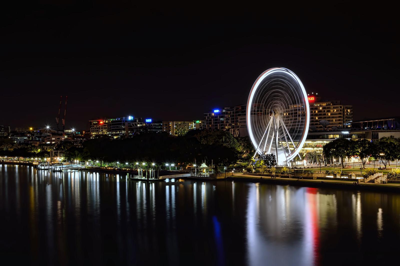
Brisbane City Council opened an additional 1.8 kilometres of unsealed paths along the river at Teneriffe in March 2025, yet few visitors venture beyond the main ferry terminals.
July brings cooler mornings that draw steady foot traffic from nearby residents, while the city's year-round outdoor culture keeps these routes in regular use for walking and light running.
New Farm and Bulimba routes draw repeat local use
New Farm Park contains a loop that starts behind the playground on Brunswick Street and follows the water's edge past the former power station site before rejoining the main lawns. The path stays shaded by fig trees and avoids the open South Bank promenade where fitness classes gather. Further upstream, the Bulimba riverfront track begins at the end of Oxford Street and runs 2.3 kilometres toward the old gasworks park, passing mangroves and small fishing jetties that remain outside most guided tours.
Local running groups based at Newstead Park use these sections for Tuesday evening intervals, while residents from the adjoining apartment blocks walk them before work. Both routes link directly to the larger Brisbane River parklands network without crossing major roads.
Council figures show steady parkland growth
Brisbane City Council recorded 4.2 million visits across its river parklands in the 2024-25 financial year, with New Farm Park accounting for 620,000 of those. Entry remains free at all listed sites, and the council's active parks program offers maps updated each quarter at its customer centres on Ann Street.
Walkers can start at the New Farm ferry terminal and follow the signed path west for 800 metres before turning inland at the first jetty. The Bulimba option is reached by bus route 230 to Oxford Street, with the trailhead marked by a small council sign rather than prominent tourist boards. Both sections stay open from dawn until 10pm daily, and the surfaces require only standard walking shoes even after light rain.
Residents planning longer outings can combine either walk with the existing Riverwalk boardwalk at South Brisbane for a loop that totals just under 10 kilometres. The council website lists current track conditions each morning, and local medical professionals recommend checking those updates before heading out.